Hike from San Martin across Lovara - Costa to La Val / Wengen

San Vigilio - San Martin
Add to favourites
Difficulty
Intermediate
Duration
2:26
in hours
Distance
7.6
in km
Status
open
Categories
  • Hiking trail
Tags
  • Linear route
  • Family-friendly
Suggested period
Jan
Feb
Mar
Apr
May
Jun
Jul
Aug
Sep
Oct
Nov
Dec
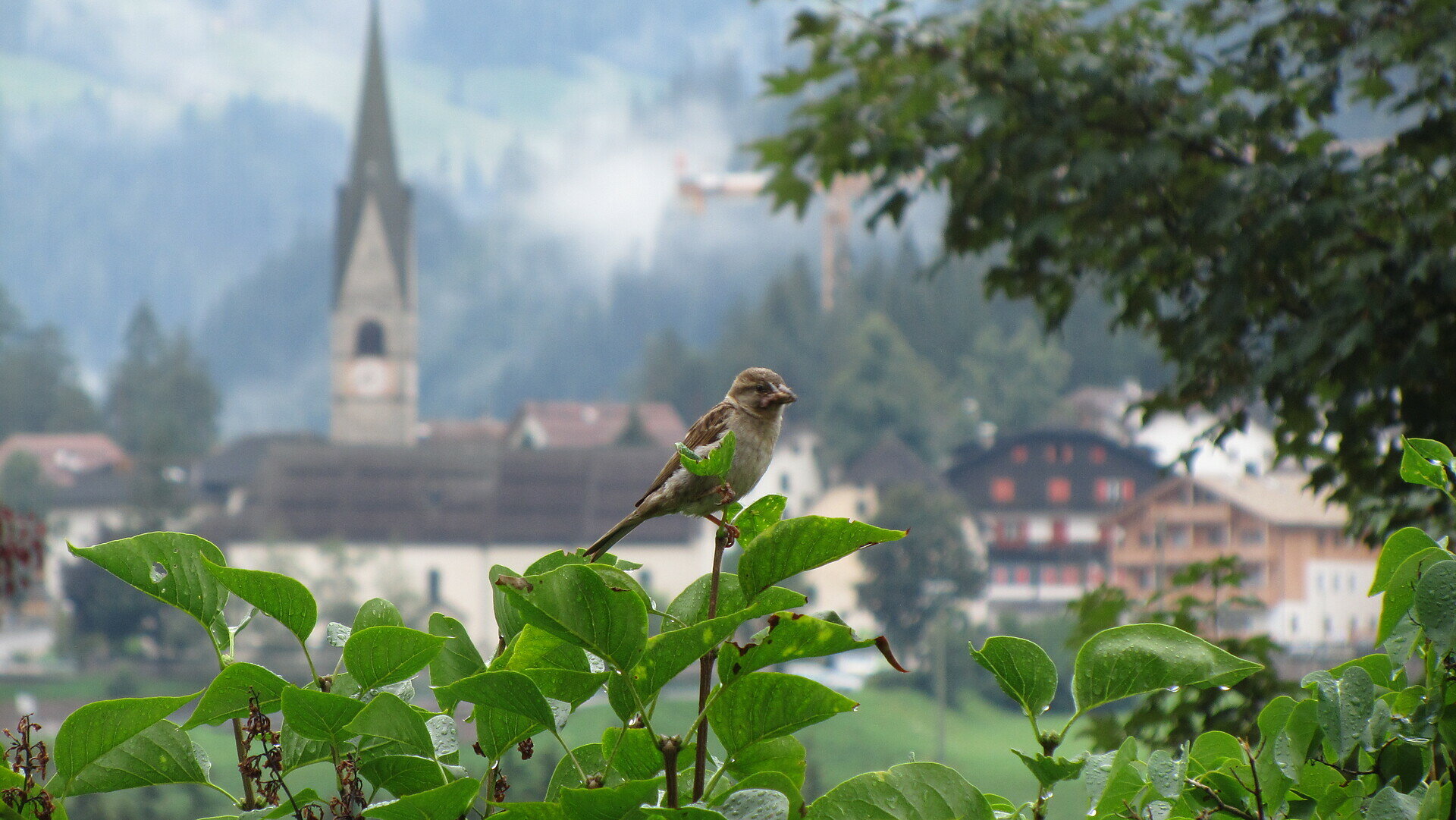
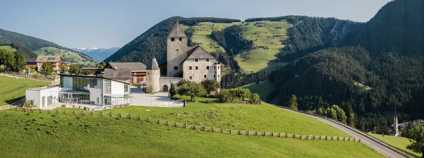
Follow the “Pinis” road to the retirement home and then continue straight ahead to Lovara. Cross the national road and walk to “Costa” (path No. 4A). From there, a forest road leads to the hamlet of “Ciampëi”. Finally, the hike leads on a tarmac road to the village of La Valle.
Gallery
Categories
  • Hiking trail
Tags
  • Linear route
  • Family-friendly
Route data
Intermediate
Distance
7,6 km
Duration
2 h 26 min
Ascent
438 m
Decent
223 m
Physical condition
Scenary
Highest point
1.524 m
Lowest point
1.102 m
You might be interested in
Discover related tours
Furkelpass | © (c) Manuel Kottersteger, Olang
Intermediate
Add to favourites
San Vigilio - San Martin
From the Furkelpass to the Kronplatz
Distance 3,2 km
Duration 1 h 44 min
Ascent 537 m
Decent 5 m
Status
open
Meadows of Pütia | © San Vigilio Dolomites
Intermediate
Add to favourites
San Vigilio - San Martin
Summer hiking: Passo delle Erbe - Forcella de Pütia - Rifugio Genova
Distance 5,9 km
Duration 2 h 19 min
Ascent 447 m
Decent 138 m
Status
open
On the top of Pütia | © Associazione Turistica San Martin de Tor, San Vigilio Dolomites
Intermediate
Add to favourites
San Vigilio - San Martin
Summer hike: Passo delle Erbe - Forcella di Putia
Distance 3,8 km
Duration 1 h 30 min
Ascent 415 m
Decent 52 m
Status
open
San Vigilio - San Martin
Walk: San Vigilio - Torpei - Pinei
Distance 3,1 km
Duration 55 min
Ascent 128 m
Decent 170 m
Status
open
Meadow | © Ass. turistica San Martin, San Vigilio Dolomites
Intermediate
Add to favourites
San Vigilio - San Martin
Summer hike: Antermoia - Alfarëi - Forcella de Lijun - Monte Muro - Antermoia
Distance 11,4 km
Duration 3 h 54 min
Ascent 842 m
Decent 842 m
Status
open
San Vigilio - San Martin
Panoramic path Concordia 360°
Distance 2,4 km
Duration 40 min
Ascent 75 m
Decent 75 m
Status
open