Summer hike: Lungiarü - Pares - Juvac - Rifugio Genova

San Vigilio - San Martin
Add to favourites
Difficulty
Intermediate
Duration
2:37
in hours
Distance
6.5
in km
Status
open
Categories
  • Hiking trail
Tags
  • Linear route
Suggested period
Jan
Feb
Mar
Apr
May
Jun
Jul
Aug
Sep
Oct
Nov
Dec

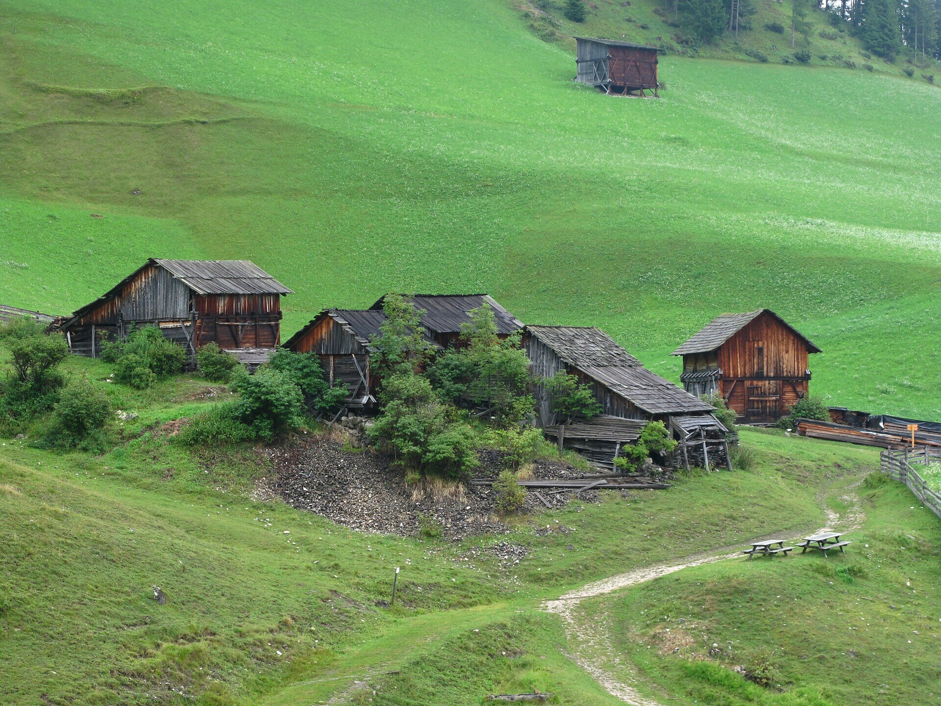
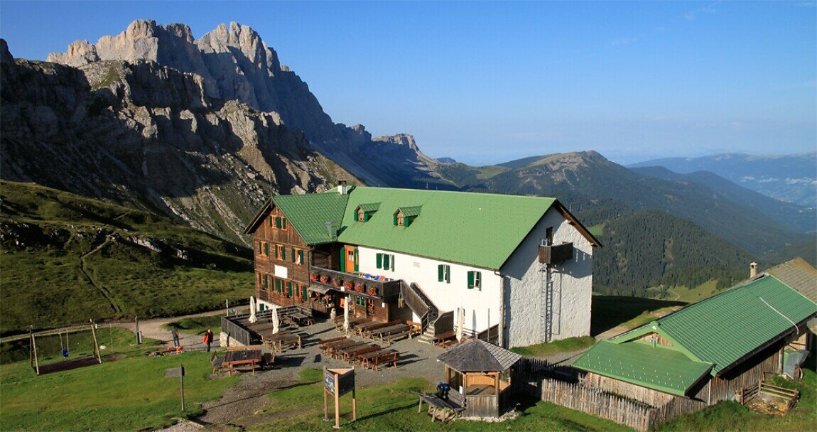
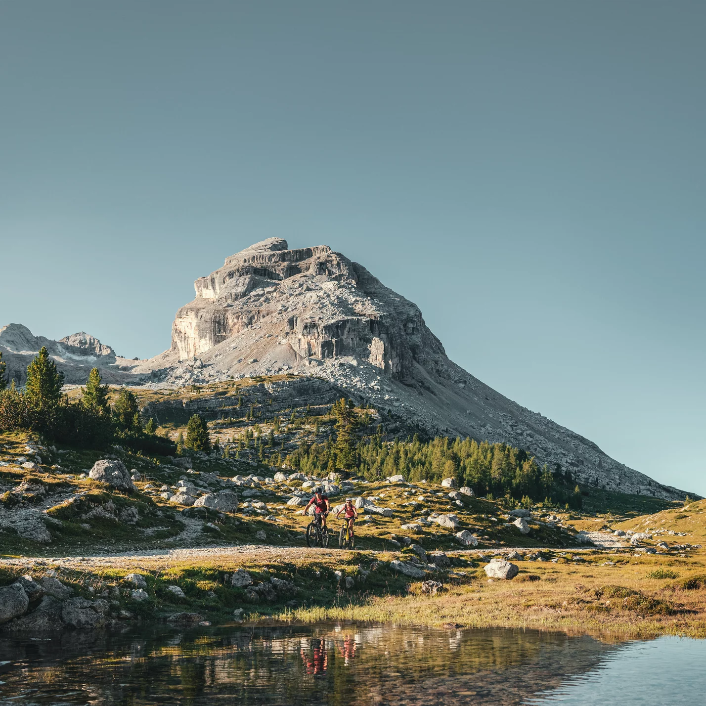
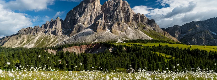
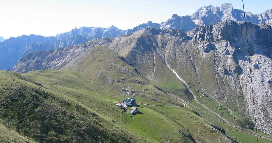
Setting off from the Pares car park, after 15 minutes you reach a fork. Follow waymark 5A or 5 (steeper). Passing the hut Ütia Ciampcios (refreshment) you arrive at path No. 3. Then follow path No. 3 (right turn) to the summit of Juvac. From there continue to the hut Rifugio Genova, then take paths No. 35 and 4B down into Val di Morins and to the car park of Pares.
Gallery
Categories
  • Hiking trail
Tags
  • Linear route
Route data
Intermediate
Distance
6,5 km
Duration
2 h 37 min
Ascent
771 m
Decent
7 m
Physical condition
Scenary
Highest point
2.301 m
Lowest point
1.530 m
You might be interested in
Discover related tours
Gran Fanes | © San Vigilio Dolomites
Intermediate
Add to favourites
San Vigilio - San Martin
Summer hike to the Gran Fanes pastures
Distance 7,7 km
Duration 3 h 01 min
Ascent 685 m
Decent 123 m
Status
open
Panorama Göma | © AT San Vigilio San Martin, San Vigilio Dolomites
Intermediate
Add to favourites
San Vigilio - San Martin
Summer hike: Antermoia - Al Bagn Valdander - Ütia de Göma hut - Passo delle Erbe
Distance 6,9 km
Duration 2 h 43 min
Ascent 750 m
Decent 234 m
Status
open
Intermediate
Add to favourites
San Vigilio - San Martin
Auf den Hausberg Kronplatz
Distance 3,2 km
Duration 1 h 45 min
Ascent 533 m
Decent 3 m
Ju | © Associazione Turistica San Martin de Tor, San Vigilio Dolomites
Intermediate
Add to favourites
San Vigilio - San Martin
Hike from San Martin across Piculin and Gran Jú to the Piz de Plaies
Distance 5,6 km
Duration 2 h 14 min
Ascent 614 m
Decent 47 m
Status
open
Furkelpass | © Olang
Intermediate
Add to favourites
San Vigilio - San Martin
Bad Bergfall - Furkelpass
Distance 4,5 km
Duration 1 h 50 min
Ascent 445 m
Decent 3 m
Status
closed
San Vigilio - San Martin
Summer hike to Santa Croce / Heiligkreuz
Distance 11,9 km
Duration 4 h 37 min
Ascent 1.256 m
Decent 440 m
Status
open