Summer hiking: Passo delle Erbe - Forcella de Pütia - Rifugio Genova

San Vigilio - San Martin
Add to favourites
Difficulty
Intermediate
Duration
2:19
in hours
Distance
5.9
in km
Status
open
Categories
  • Hiking trail
Tags
  • Linear route
Suggested period
Jan
Feb
Mar
Apr
May
Jun
Jul
Aug
Sep
Oct
Nov
Dec

RIFUGIO GENOVA (2297m; H: 1 hour 45 min.)
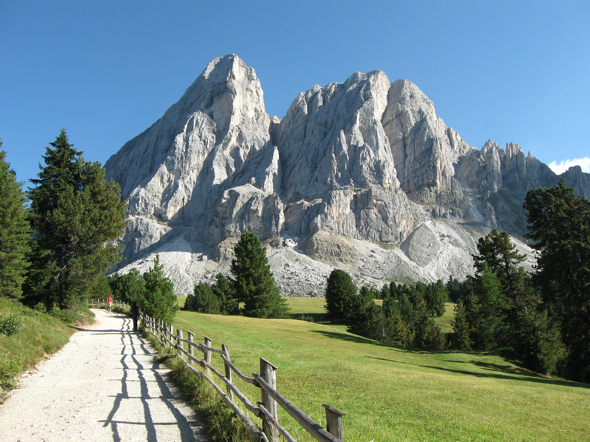
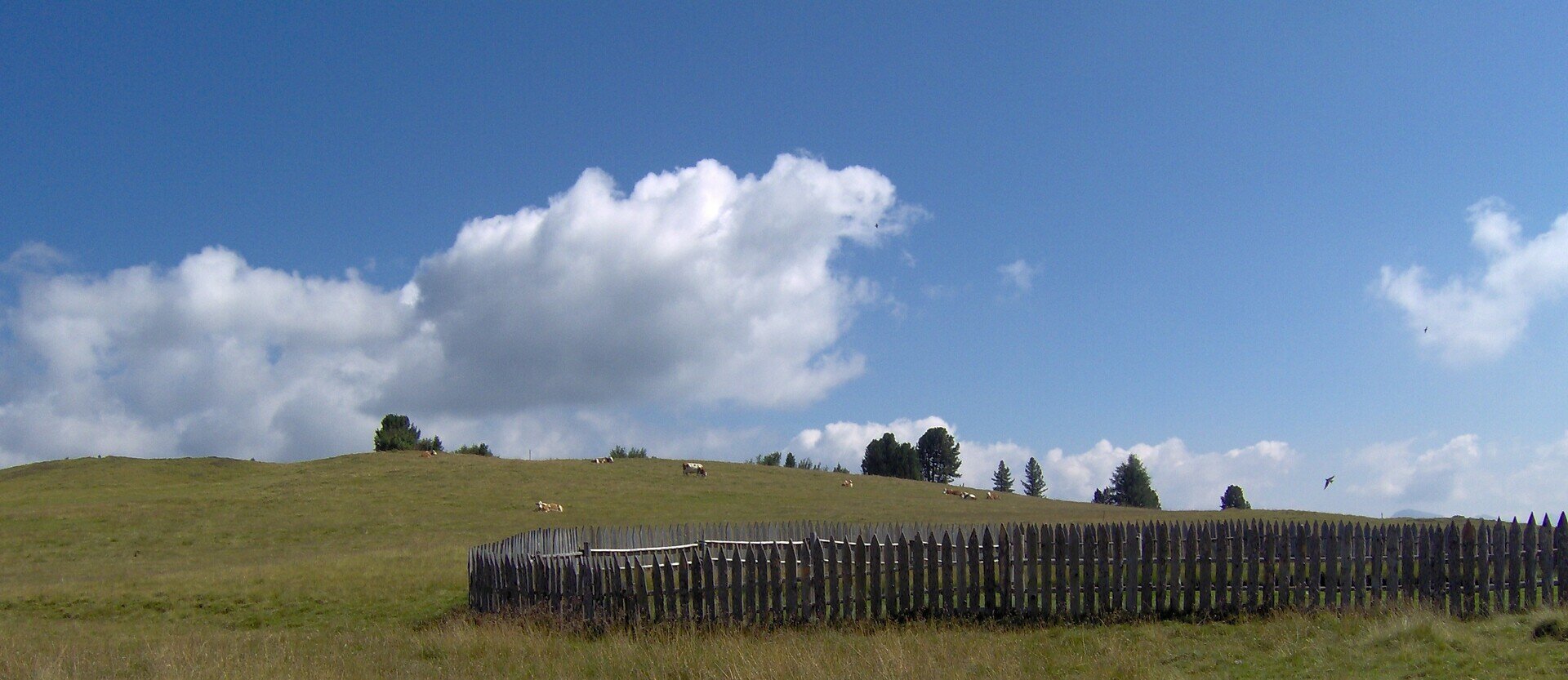
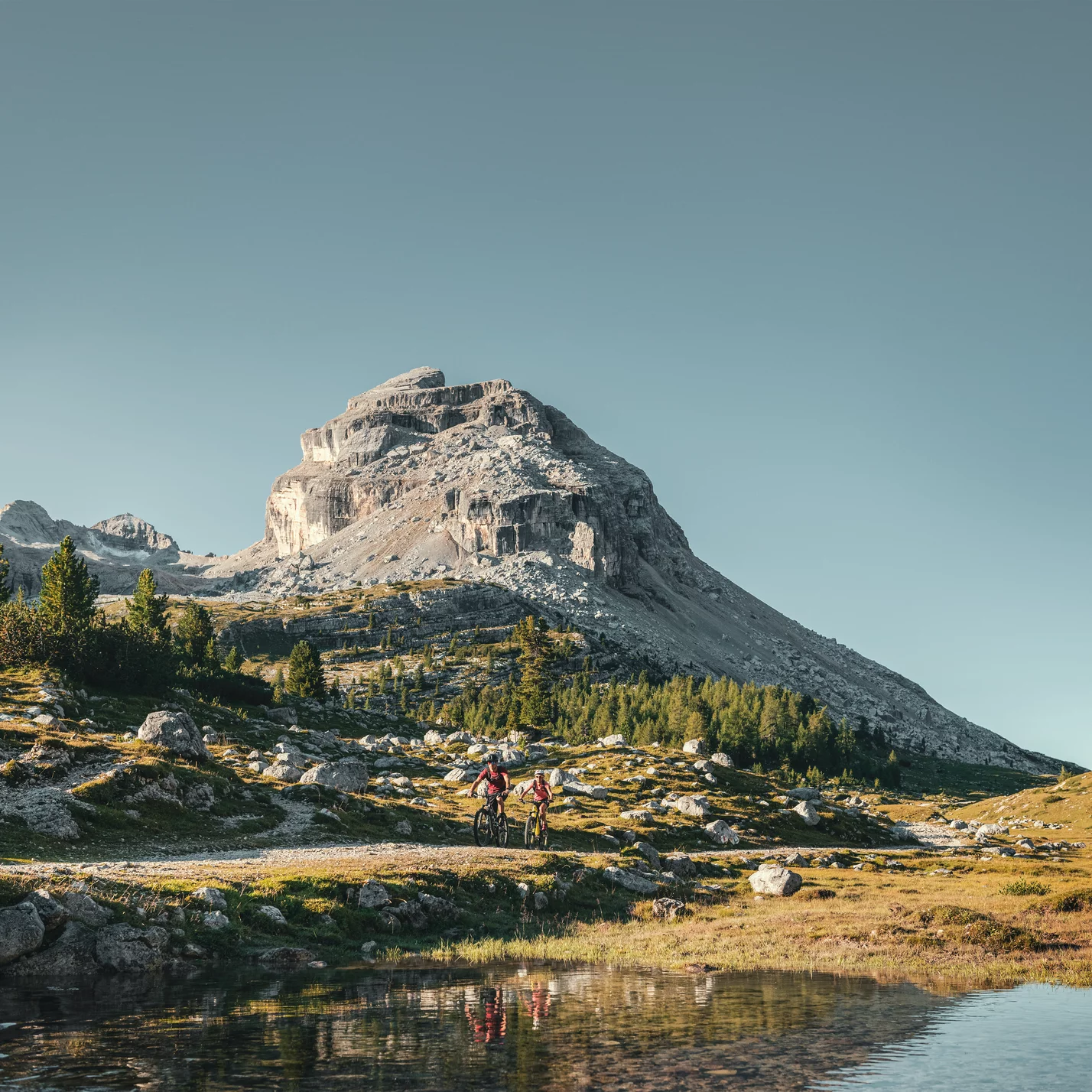
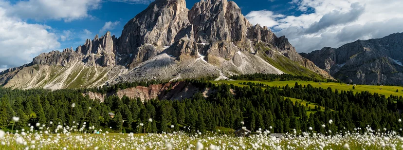
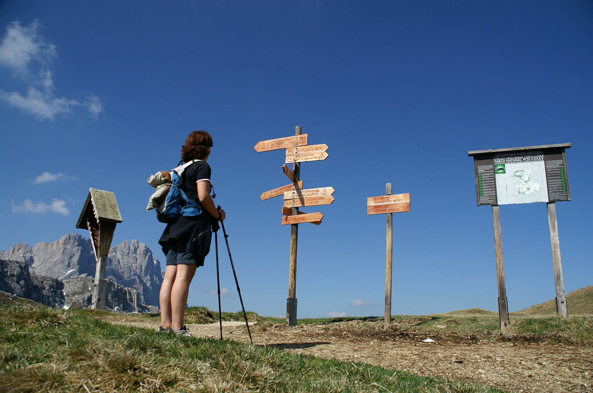
From Passo delle Erbe, this hike along trail 8a runs though stunning pastures. At the foot of the north face of Pütia, turn right at the fork and take trail no. 4 to the Forcella di Pütia pass. At Forcella di Pütia, turn right onto trail no. 4 (Alta Via 2) and walk for about 15 minutes. At the fork, head downhill to the Genova inn.
Gallery
Categories
  • Hiking trail
Tags
  • Linear route
Route data
Intermediate
Distance
5,9 km
Duration
2 h 19 min
Ascent
447 m
Decent
138 m
Physical condition
Scenary
Highest point
2.387 m
Lowest point
1.991 m
You might be interested in
Discover related tours
Munt da Rina | © TG San Vigilio-San Martin | Dolomites, San Vigilio Dolomites
Intermediate
Add to favourites
San Vigilio - San Martin
Hike from Rina/Welschellen to the Munt da Rina mountain inn
Distance 2,7 km
Duration 1 h 27 min
Ascent 449 m
Decent 0 m
Status
open
San Vigilio - San Martin
Plan de Corones > S. Stefano > Riscone
Distance 8,9 km
Duration 3 h 05 min
Ascent 48 m
Decent 1.377 m
Status
closed
San Vigilio - San Martin
Walk: Passo Furcia - Ücia Bivacco
Distance 1,0 km
Duration 25 min
Ascent 125 m
Decent 1 m
Status
open
San Vigilio - San Martin
Walk: San Vigilio - Lé dla Creda
Distance 3,5 km
Duration 58 min
Ascent 86 m
Decent 17 m
Status
open
hike | © San Vigilio Dolomites
Intermediate
Add to favourites
San Vigilio - San Martin
Lungiarü - Val di Murins - Genova Inn – Pütia
Distance 10,0 km
Duration 5 h 03 min
Ascent 1.384 m
Decent 116 m
Status
open
San Martin de Tor | © Associazione Turistica San Martin de Tor, San Vigilio Dolomites
Intermediate
Add to favourites
San Vigilio - San Martin
Hike from San Martin across Lovara - Costa to La Val / Wengen
Distance 7,6 km
Duration 2 h 26 min
Ascent 438 m
Decent 223 m
Status
open